AI TOOL / #08666
Flypix
A geospatial AI platform for Earth observation data that provides object detection and analysis.
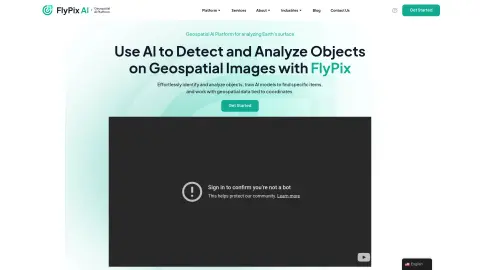
Introduction
Geospatial AI platform for object detection and analysis on Earth observation data.
What is FlyPix AI?
FlyPix AI is a geospatial AI platform that allows users to detect and analyze objects in geospatial images. It enables users to easily identify and analyze objects, train AI models to locate specific items, and process geospatial data associated with coordinates. The platform requires no prior knowledge of AI or machine learning.
How do I use FlyPix AI?
Users can upload geospatial images to the FlyPix AI platform, use the interactive sandbox to explore features, manually annotate objects to train custom AI models, and then use these models to automatically detect objects in new images.
Core Features of FlyPix AI
Object Detection and Analysis in Geospatial Images
Train AI models without any programming knowledge
Interactive Sandbox for Exploring Capabilities
Geospatial data associated with coordinates
Supports multispectral data
Train AI models without any programming knowledge
Interactive Sandbox for Exploring Capabilities
Geospatial data associated with coordinates
Supports multispectral data
Related
QuickPod
Low-price GPU and CPU computing power rental
SandboxAQ
AI and advanced computing designed to address the challenges of the real world.
Pervaziv AI
An AI-driven software security platform designed to protect multi-cloud applications and streamline DevOps workflows.
InfraVisN AI
Visnet: An AI-based infrastructure management system and neural network framework, utilized for defect detection and the development of AI solutions.
WritingMate.ai
WritingMate.ai is an AI-powered writing tool called ChatGPT and GPT-4 Copilot for Chrome. It is designed to increase productivity and help users create engaging content.
Civitai
Image painting and model sharing platform