AI TOOL / #02041
Geospatial Analysis for Agriculture
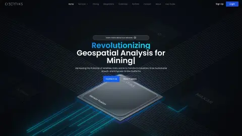
Cybertiks uses AI and satellite data for sustainable agriculture analysis and carbon farming.
Introduction
Cybertiks uses AI and satellite data for sustainable agriculture analysis and carbon farming.
What is Cybertiks?
Cybertiks is a company revolutionizing AI data analytics to support sustainable agriculture. Leveraging remote sensing and agritech, it harnesses satellite data and AI for precision agriculture analysis, transforming carbon farming and sustainable agriculture. It offers soil analysis services using satellite imagery, providing real-time soil health insights and precise carbon capture metrics.
How do I use Cybertiks?
To use Cybertiks, sign up for an account, create a new field by entering coordinates and an analysis date, draw the field boundary, choose a plan, monitor the field status, and view the analysis results on the map.
Cybertiks' core features
AI-driven soil analysis using satellite imagery
Remote sensing technology for agricultural analysis
Carbon capture metrics
Detect the presence of minerals and elements
Classify elements based on their spectral characteristics.
Quantitative analysis of elements
Remote sensing technology for agricultural analysis
Carbon capture metrics
Detect the presence of minerals and elements
Classify elements based on their spectral characteristics.
Quantitative analysis of elements
Related
Zinrelo
An AI-powered loyalty and rewards platform for customer retention and brand advocacy.
Doubleword
Batch inference cloud for open-source models
esganalytics.io
Real-time ESG scores and ratings covering companies worldwide using AI technology.
APIGen
An open source intelligence platform based on artificial intelligence that provides automated intelligence collection and analysis.
Dxyfer
An AI-driven platform utilized for data analysis, document understanding, and dashboard creation.
Ithy AI
Ithy leverages cutting-edge artificial intelligence to provide comprehensive and high-quality answers to complex questions.